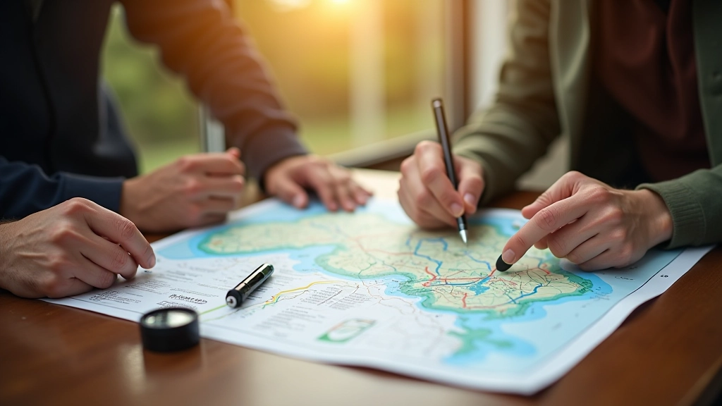
Why Czech Rivers Matter for Cyclists
We’ve mapped every significant cycling route along Czech’s three major rivers. Each trail offers something different — from urban Prague paths to rural Moravian countryside. You’ll find detailed distance markers, difficulty ratings, and practical rest stop information for every section.
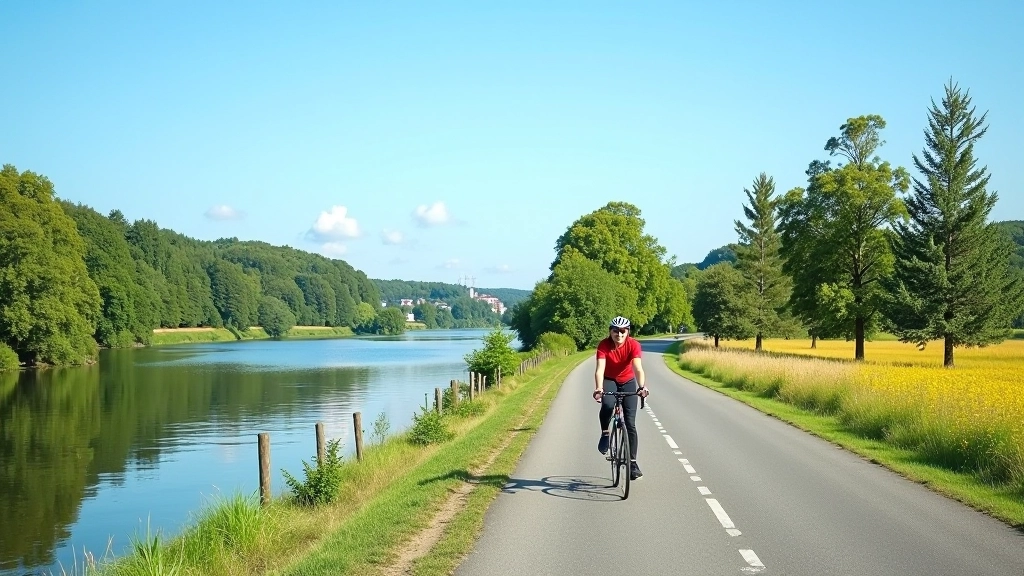
Start Your River Journey
Choose your route and discover what makes Czech river cycling unique
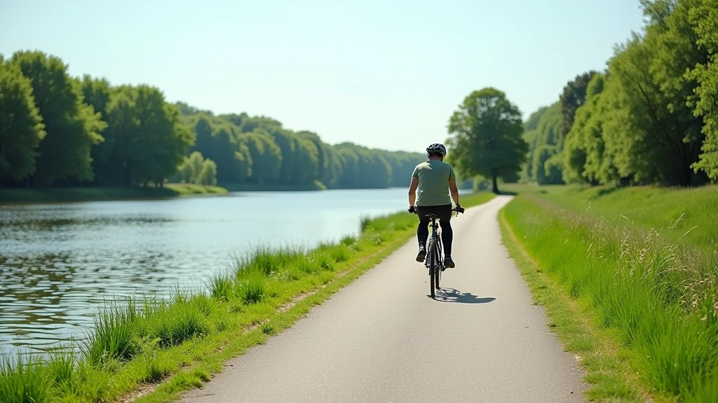
Vltava Bike Trail
Complete route from Prague to Melník with rest stops and scenic viewpoints marked throughout.
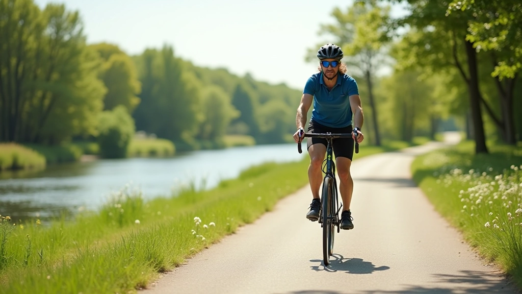
Learn MoreElbe Trail Sections
Breaking down terrain types, elevation changes, and best times to ride each Elbe section.
Learn MoreMorava Hidden Gems
Quieter trails with rewarding scenery — we’ve mapped the most scenic and peaceful Morava sections.
Learn MoreMeet Our Route Experts
Local cyclists and travel experts who’ve tested every trail
Martin Svoboda
Vltava Route Specialist
Jana Novotná
Elbe Trail Expert
Petr Bednář
Morava Region Guide
Kateřina Dvořáková
Route Planning Director
What You’ll Get With Our Guides
No clear route information
Uncertain about difficulty
Unknown rest stop locations
Missing elevation details
Detailed turn-by-turn directions
Clear difficulty ratings by section
Mapped cafes and facilities
Complete elevation profiles included
Featured Route Guides
Start with these comprehensive guides to Czech river cycling
Vltava Bike Trail: Complete Route Guide
Everything from Prague to Melník — distance markers, difficulty sections, and where to find rest stops along the way.
Read Guide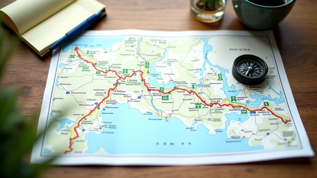
Elbe Trail Sections: What to Expect
Breaking down the different sections of the Elbe cycling route — terrain types, elevation changes, and best times to ride each part.
Read GuideThe Story of Czech River Cycling
2015 marked the beginning when local cycling enthusiasts realized the Vltava waterway had untapped potential. What started as weekend rides became a systematic effort to document every usable section. Within months, the first detailed Vltava guide was complete — hand-drawn maps, distance markers, and notes about road conditions.
2017 expanded the project. The Elbe Trail proved more challenging than expected. Sections near the German border required careful research into cross-border regulations, and we’ve included all that information. We also discovered that most cyclists weren’t aware of the quieter Morava routes in the south — hidden gems that offer just as much scenery with fewer crowds.
2019 brought digital mapping and mobile guides. We converted years of field notes into comprehensive online resources. Each route now includes real-time weather considerations, seasonal difficulty changes, and feedback from thousands of cyclists who’ve used our guides.
Today , our platform serves cyclists planning trips from single-day rides to multi-week river cycling expeditions. We’re still updating guides based on road conditions, adding new rest stop locations, and collecting stories from cyclists who’ve discovered these routes through our work.
Common Questions About Czech River Cycling
Recognition & Trust
Best Cycling Route Database 2023
Recognized for comprehensive Czech river cycling documentation and accessibility
Trusted by 50,000+ cyclists
250+ detailed route sections
Field-tested by local experts